
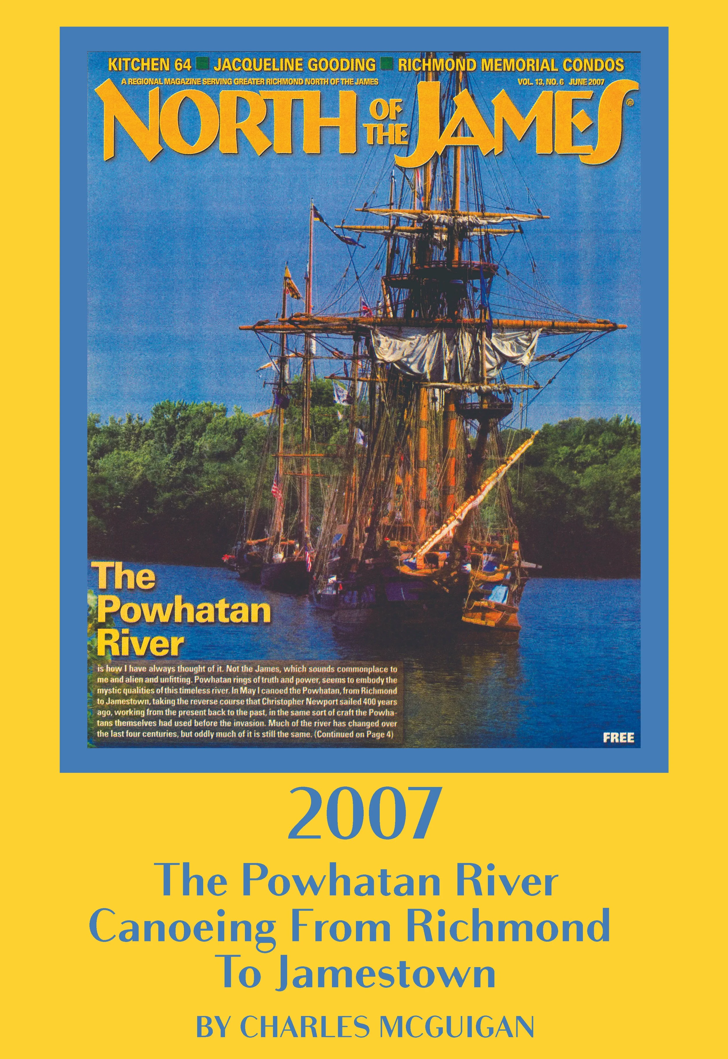
The Powhatan River Canoeing From Richmond To Jamestown
by Charles McGuigan, originally published June 2007
The Powhatan River from Richmond to Jamestown Island is still filled with wonder, and good river folk, and flora and fauna too numerous to mention. But there are no American Indians on its shore that we would see.
My daughter, Catherine, eleven-years old, and son, Charles, accompany me in the canoe as we set out from Rockett’s Landing for this first leg of the trip along the mighty Powhatan River, making the reverse trip that Christopher Newport made 400 years ago.
From the moment we leave Richmond, all the way down to our takeout at Osborne Landing, the eastern shore of the river is sprinkled liberally with ancient pilings, the remnants of piers and docks, evidence of the commerce conducted along the river in the past.
Profit was the motive from the beginning. The Virginia Company, venture capitalists of the era, funded John Smith’s exploratory mission to the “New World.” They were hoping for gold and silver, instead settled for timber and tobacco. And they stole the land and decimated the tribes that lived throughout what became known as the Colonies.
Near Dupont there is a great steel bulkhead stretching downriver for a hundred yards, towering sixty feet above us. At intervals of every twenty yards or so there are twelve-inch pipes that froth a steady stream of clear effluvium. Christ knows what’s really in it.
Just below Deepwater Terminal we pull onto a wide sand beach, among spears of old pilings, and sit on the sand, eating apples and almonds and beef jerky, drinking cold, cold, half-frozen water. Charles splashes in the water, drinking milk from his sippy cup.
Back on the water we pass under the towering 895-bridge, inspecting its underbelly from our unique perspective, as if it were Leviathan swimming above us. Just below the bridge, the river turns abruptly to the east, one of the many oxbows along this stretch of the Powhatan.
River activity increases along this stretch. Laying low on the river are great ponderous barges, laden with sand as white as sugar. The barge traffic increases the farther downstream we go and every tug boat is emblazoned with the name Buchanan.
Late that afternoon, the paddling becomes increasingly difficult. As I remove my paddle from the water, I tell my daughter to do the same. The canoe gradually stops and then begins moving upstream, slowly, almost imperceptibly.
After another hour or so of hard paddling we make landfall on a sand beach backed by a steep bluff of soft sandstone, with neat strata of white and beige and orange and black. When I rub my palm across the bluff, it crumbles into sand.
Each of us is aware of the noise at the same time, a low and steady hum that becomes increasingly frenetic with every step we take.
“Bees,” says my daughter. There is honey dripping from the sandstone face of the bluff, and hundreds of bees swarming around the nest that seems to be drilled right into the stone. We make for the canoe, cast off, head for deeper water, paddling furiously now against the incoming tide and a stiff breeze, the buzz in our ears a memory that continues to reverberate.
We make Osborne Landing well before sundown, and Charles, when he steps ashore, staggers briefly with his newfound sea legs.
The next morning I continue the downstream journey with an old friend, Anya, who claims to be at least one-quarter Mattaponi. We find a takeout near Turkey Island Road, park one car there and then head back upstream to Osborne Landing, where we put in.
It is a leisurely paddle and we make frequent stops along the shore. At one spot I find several shards of stoneware, remnants of ancient bricks and pieces of old ironmongery cemented with sand.
Much of this land had been clear cut by the mid-1650s to create tobacco farms. Early on, colonists from Jamestown were growing tobacco in great abundance. Within 20 years of the first settlement they were shipping 300 tons of tobacco back to England each year. In the end, it’s what justified the colony, what finally started turning a profit.
“Powhatan’s revenge,” I say to Anya, and she nods.
A few miles downstream we cross under Enon Bridge and the river widens to nearly half a mile. On the southern shore there is heavy industry, but the north shore looks as wild as it did centuries ago.
Below Curles Neck we come to Presquile Isle National Wildlife Refuge. We explore its shoreline and disembark at a well-maintained pier and enter the forest, then head to higher ground. On a large plateau, completely open to the breezes spilling off the James, there are thousands of plastic tubes thrust into the earth. Each one protects a sapling—black cherry, red cedar, sycamore, redbud, beech, blackjack oak, and so on.
As we get back in the canoe the wind picks up, and we paddle directly into it, making no time at all as the sun begins to drift down toward Hopewell. We are crossing a large, extremely shallow bay, a mile and a half wide. It is so shallow that the tips of our paddles actually touch the muck on the bottom. We miss our take out and as the sun begins to set, we turn around and start back upstream, fighting the current. As the last light of day is swallowed by night, a golden moon rises over the water, bathing us in its richness. We pull in at the first pier we see and a mother and her daughter show us the way back to our car and let us pick up our canoe from their landing.
On the third day, Anya and I leave the second car at Milton, just above the confluence of the Chickahominy. A man by the name of Bobby Payne lets us park near his pier.
We put in near Presquile Isle and almost directly after departing see one of the first McMansions of the New World—Shirley Plantation. Below the Benjamin Harrison Bridge we come upon Berkley Plantation, and pull into shore just south of the plantation. In the wash of sand and pebbles there we find shards of glass and pottery.
A few miles east of Westover Plantation the river takes a deep turn south, and soon thereafter the cypress trees begin appearing. At first they are sporadic, sometimes growing straight up out of the channel, other times growing on the sandy beach.
And then at Weyanoke Point the cypress forest begins, fully three miles long. These are majestic trees, hundreds of years old, trees Powhatan and his daughter might have seen.
We seek refuge among the cypress trees, up a small creek where the water is black, and beyond the trees there is a savanna, emerald green, luminescent, made up almost entirely of tuckahoes.
As we near Kittewan Creek the sun begins to go down and the wind picks up and the tide rises. We are suddenly in a wash of whitecaps and searching desperately for our take out point. Night is coming on fast. We put in at the first house we see, drag the canoe up a steep slope paved with rounded river stones and hike about a half mile through underbrush on the banks and finally find Bobby Payne’s house.
Toward Busch Gardens
The last day on the journey to Jamestown I take my daughter and her good friend, Selena. We leave from the private marina of Two Rivers, a development of extremely high dollar homes and golf courses.
It is the first cloudy day and the water is salty. We see our first seagull and the river is wide. There is a steady wind and a constant chop, and the girls absolutely adore it.
“It’s like being on the ocean,” says Selena.
“Or like Roman Rapids,” Catherine says. “You know, Daddy, at Busch Gardens.”
Which is just a couple miles away.